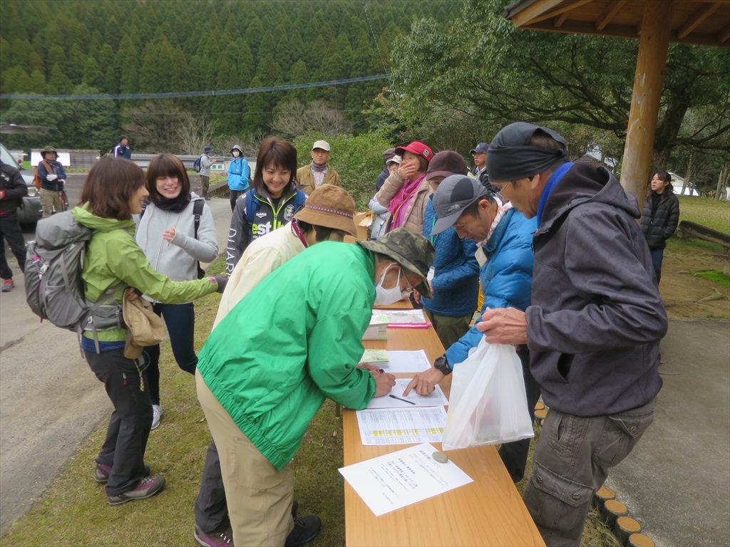
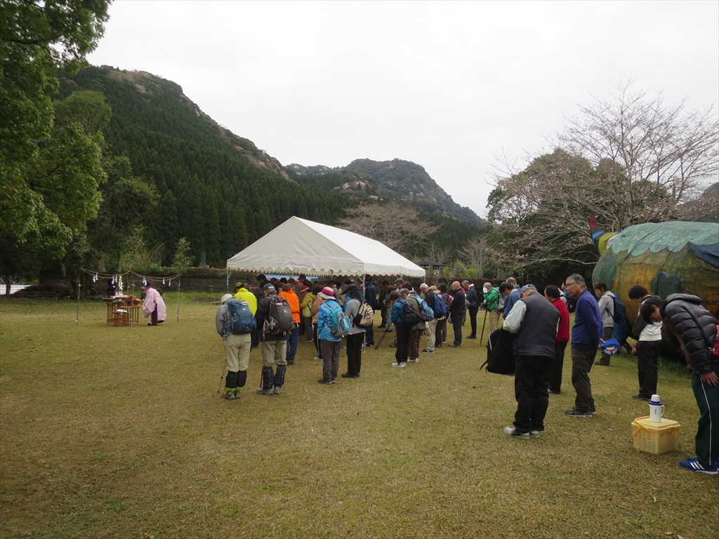
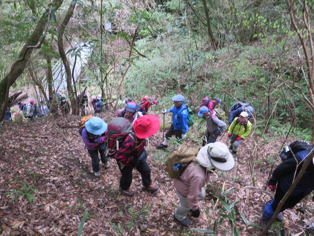
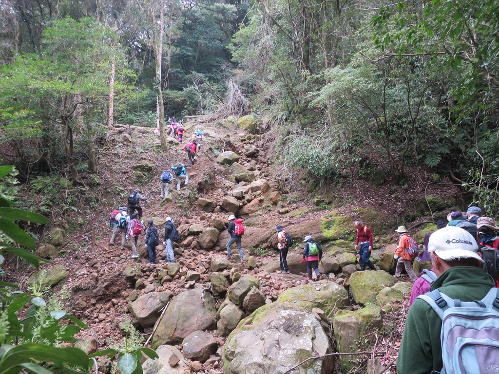
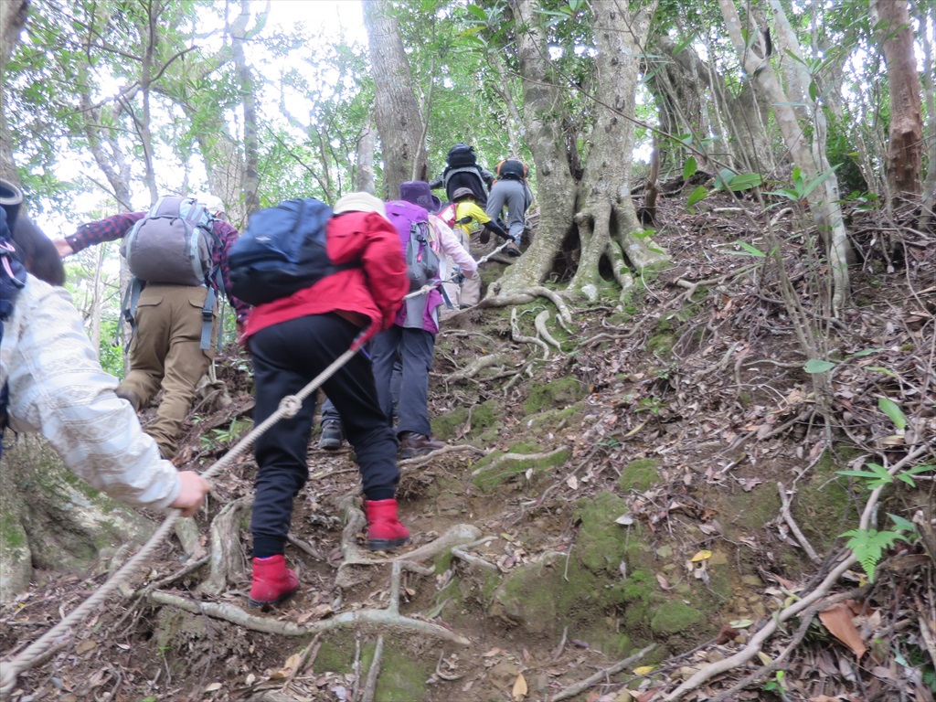
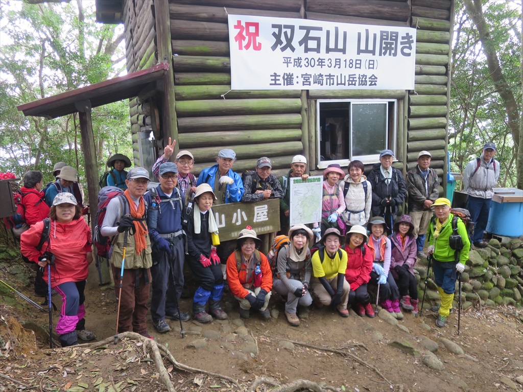
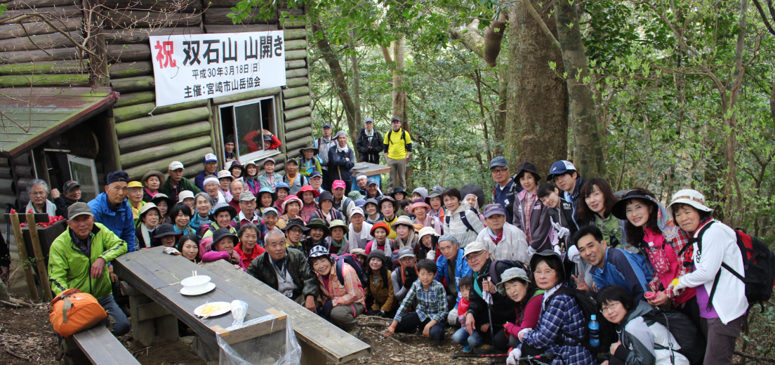
双石山山開きム-ビ(YouTube)とル-ト地図をアップしました。
出発時刻/高度: 08:59 / 17m
到着時刻/高度: 14:52 / 17m
合計時間: 5時間52分
合計距離: 9.51km
最高点の標高: 440m
最低点の標高: 15m
throws-spam-away
domain was triggered too early. This is usually an indicator for some code in the plugin or theme running too early. Translations should be loaded at the init
action or later. Please see Debugging in WordPress for more information. (This message was added in version 6.7.0.) in /home/kooen/www/ooyodo/wp-includes/functions.php on line 6121
「双石山山開きム-ビとル-ト地図」への2件のフィードバック