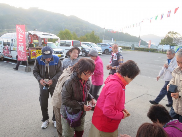
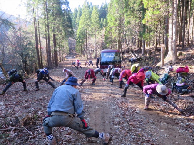
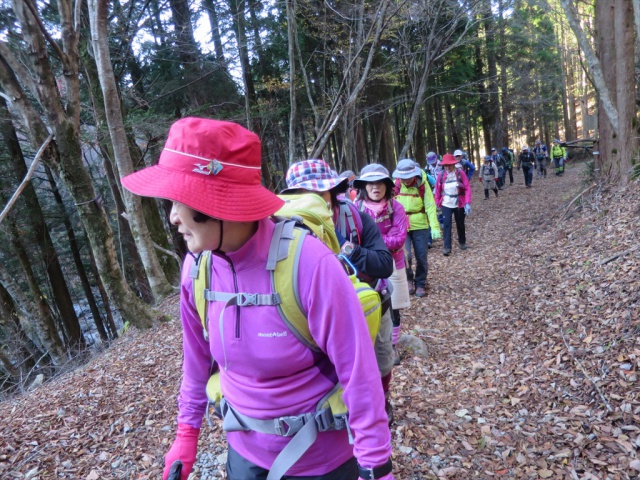
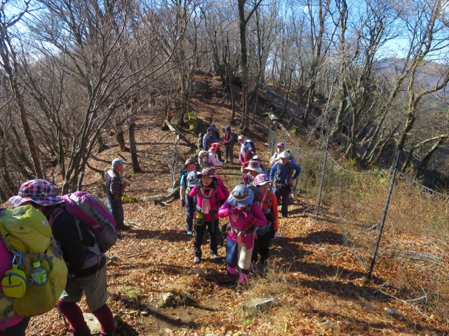
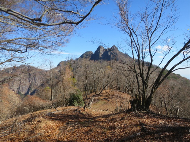
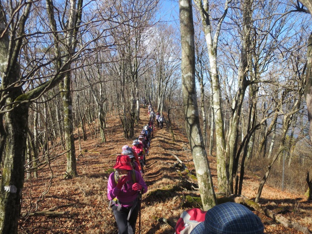
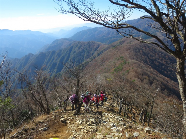
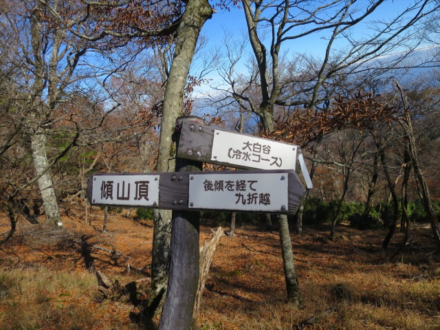
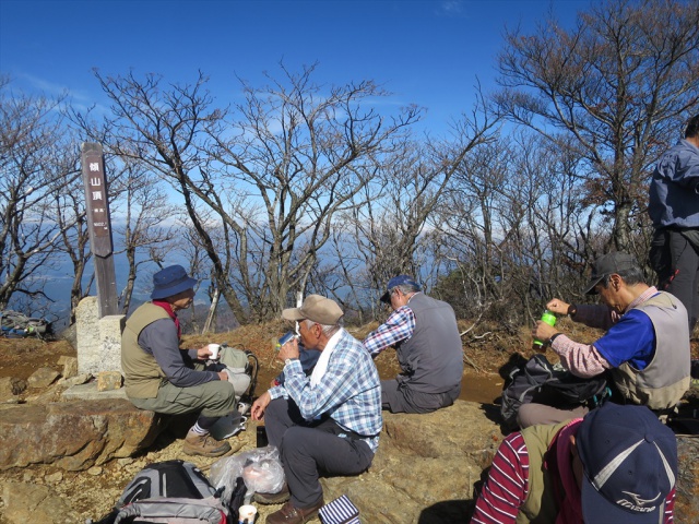
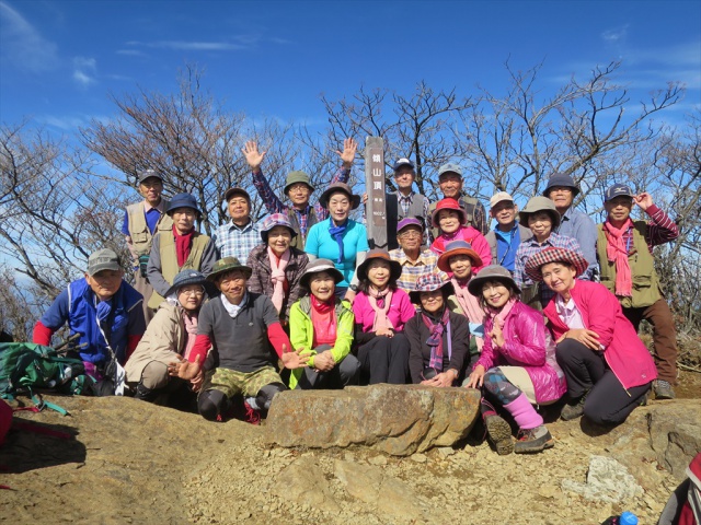
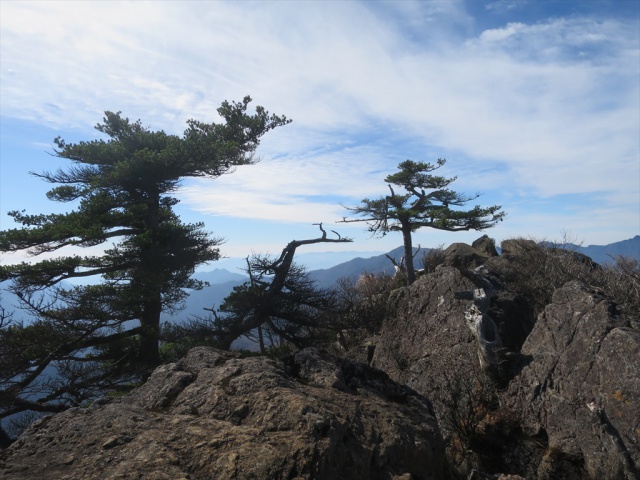
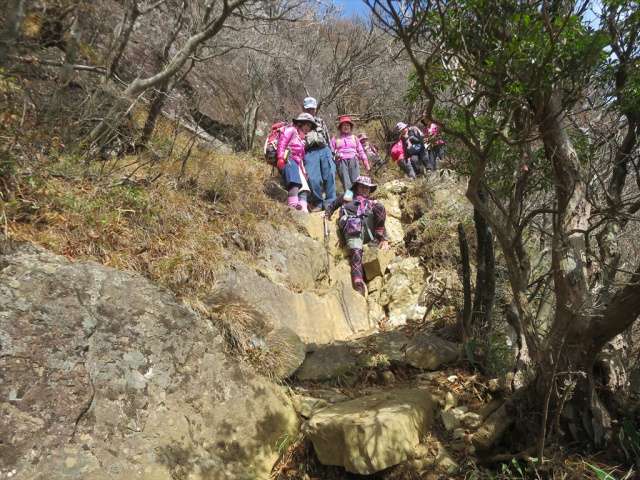
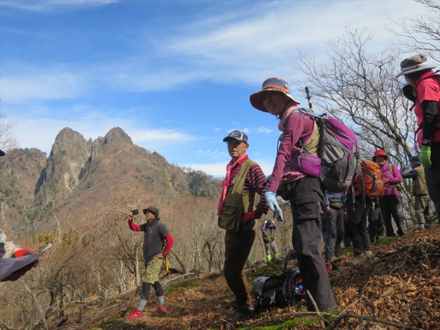
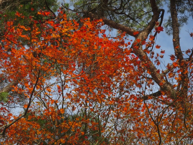
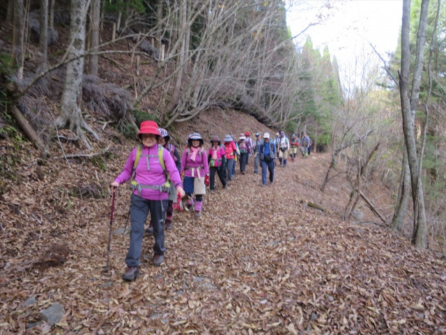
秋晴れの傾山山行をYouTube、静止画、ル-ト地図でアップしました。
※今回の歩くペース 1.3~1.4(ゆっくり)
ヤマプラ掲載の「山と高原地図」標準コースタイムを「1.0」としたときの倍率(全コースのうち93%の区間で比較)
出発時刻/高度: 08:46 / 1028m
到着時刻/高度: 14:55 / 1001m
合計時間: 6時間9分
合計距離: 8.43km
最高点の標高: 1564m
最低点の標高: 1000m
throws-spam-away
domain was triggered too early. This is usually an indicator for some code in the plugin or theme running too early. Translations should be loaded at the init
action or later. Please see Debugging in WordPress for more information. (This message was added in version 6.7.0.) in /home/kooen/www/ooyodo/wp-includes/functions.php on line 6121